¶ Description
Read GeoJSON file.
¶ Parameters
¶ Parameters tab
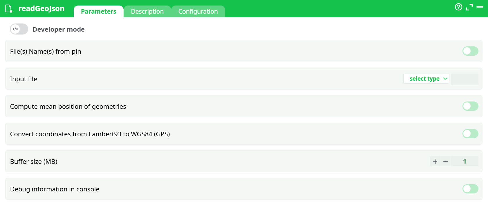
Parameters:
- File(s) Name(s) from pin
- Input file
- Compute mean position of geometries
- Convert coordinates from Lambert93 to WGS84 (GPS)
- Buffer size (MB)
- Debug information in console
¶ Description tab
See dedicated page
¶ Code tab
readGeoJson is a scripted action. Embedded code is accessible and customizable through this tab.
¶ Configuration tab
See dedicated page for more information.
¶ About
The readGeoJson action button extracts "features" from a GeoJSON file. It supports additional processing options such as computing the mean position of geometries and converting coordinates from Lambert93 to WGS84 (GPS format).
¶ Pipeline Example
This pipeline demonstrates how to load and process a GeoJSON file:
- Add a
readGeoJsonaction to your pipeline. - Set the Input file to your
.geojsonfile. - Enable:
- Compute mean position of geometries
- Convert coordinates from Lambert93 to WGS84 (GPS)
- Enable Debug information in console for detailed logs.
- Connect the next action button to process or export the data.
¶ Tips & Notes
- Ensure your GeoJSON file contains valid geometries before loading.
- Use debugging logs to review imported features or errors.
- The coordinate conversion (Lambert93 to WGS84) is useful for geographic data interoperability.
- If the action fails with errors, verify that all required parameters are enabled before reporting an issue.