¶ Description
Extract information from Geometries.
¶ Parameters
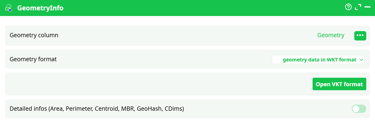
Paramters:
- Geometry column
- Geometry format
- Open VKT Format
- Detailed infos (Area, Perimeter, Centroid, MBR, GeoHash, CDims)
¶ About
The Extracted informations are:
-
GeometryType: it can be: POLYGON,MULTIPOLYGON,POINT, MULTIPOINT,etc.
-
NPoints: Number of points inside the geometry
-
IsValid: 0 or 1
-
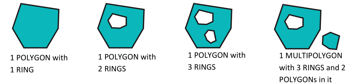
NRings: Number of Rings:
-
NumGeometries: The Number of geometries inside a MULTI-geometry: For example: The
number of POLYGON inside a MULTIPOLYGON geometry -
SRID: see previous section for more details on SRID
-
Dimension: 0 for POINT, 1 for LINE, 2 for POLYGON
-
NDims: 2 (when you have Lattitude and Longitude) or 3 (when you have Lattitude, Longitude and Elevation)
-
Is3D: when nDims=3
-
IsEmpty: 0 or 1
-
IsSimple: 0 or 1
If you check the “detailed info” checkbox, you also get:
- Area: The area is usually expressed in m² (i.e. divide by 1.000.000 to get it in Km²). In particular,for the SRID 4326, you also directly get the area in m² (personnaly, I expected the area indegree² for the SRID 4326 but it’s in m². Cool!).
- Perimeter: The Perimeter is usually expressed in m (this is also true for the SRID 4326 !).
- Centroid: the POINT at the cent of the geometry (in WKT format). It might be outside thePOLYGON if the geometry as a “U” shape.
- Envelope: the minimum bounding rectangle (MBR) around the geometry (in WKT format)
- GeoHash: the geohash of the POINT (null if it’s not a POINT)
- CoordDimension: most of the time: “XY”, sometime: “XYZ”